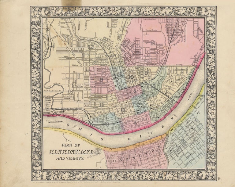
Plan of Cincinnati and Vicinity.
New York: S. Augustus Mitchell, Jr., 1860. Folio (15¼" X 12¼", image area 11" X 10 3/4"). Hand colored. Very good. Light age toning and bit of soiling; single small at upper left, slightly touching printed border. Item #46942
Nice example of this detailed city plan, from the 1864 edition of "Mitchell's New General Atlas, Containing Maps of the Various Countries of the World, Plans of Cities, Etc." Large and bold floral border and well done original colors.
Price: $75.00
See all items in
Maps
See all items by CINCINNATI -- Map