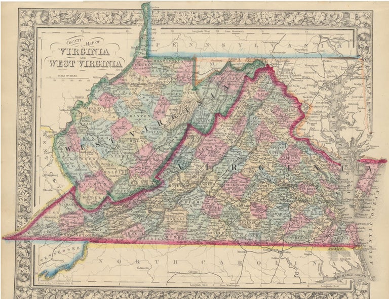
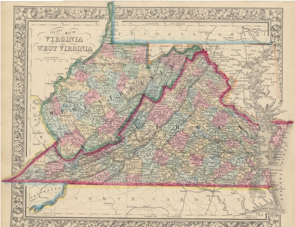
County Map of Virginia and West Virginia.
New York: S. Augustus Mitchell, Jr., 1863. Folio (15¼" X 12¼", image area 14¼" X 11 3/4"). Hand colored. Very good. Faint age toning. Item #45854
Wonderfully richly and nicely colored map of these two side-by-side southern states, published the same year that this breakaway state achieved statehood. From the 1864 edition of "Mitchell's New General Atlas, Containing Maps of the Various Countries of the World, Plans of Cities, Etc." Superbly colored, with bold decorative border.
Price: $125.00
See all items in
Maps
See all items by VIRGINIA -- WEST VIRGINIA -- Map