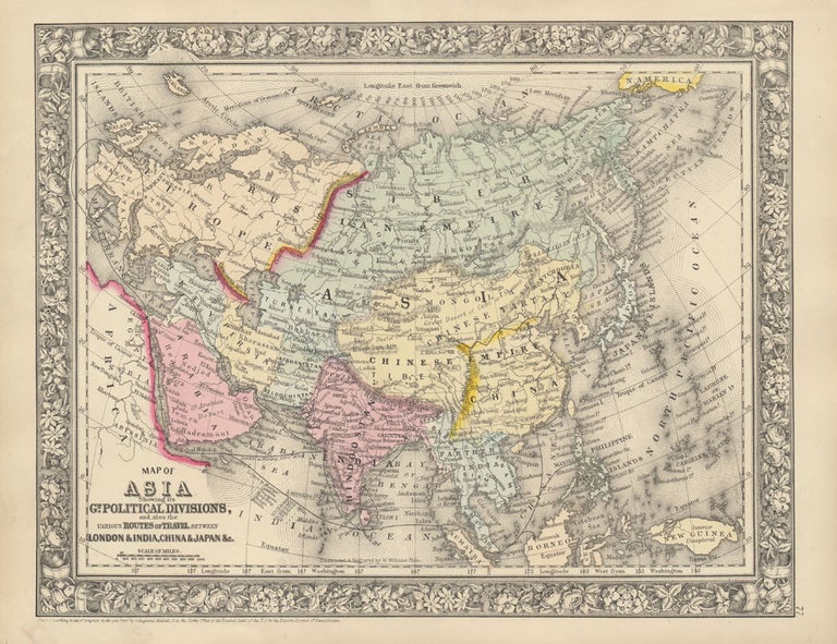
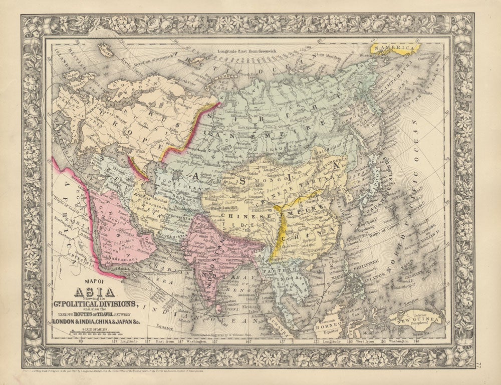
Map of Asia Showing its Gt. Political Divisions, and, also, the Various Routes of Travel Between London & India, China & Japan & c.
New York: S. Augustus Mitchell, Jr., 1860. Folio (15¼" X 12¼", image area 13¼" X 10½"). Hand colored. Very good. Faint age toning only. Item #45841
Wonderfully clean and bright map of this huge region, from the 1864 edition of "Mitchell's New General Atlas, Containing Maps of the Various Countries of the World, Plans of Cities, Etc." Finely colored and with handsome decorative border.
Price: $95.00
See all items in
Maps
See all items by ASIA -- Map