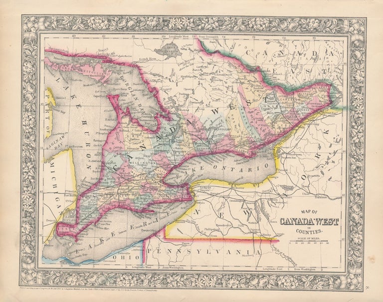
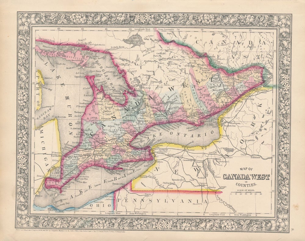
Map of Canada West in Counties.
New York: S. Augustus Mitchell, Jr., 1860. Folio (15¼" X 12¼", image area 13¼" X 10½"). Hand colored. Very good. Mild age toning only. Item #45832
Quite sharp and attractive map of this what was then Canada's western counties, from the 1864 edition of "Mitchell's New General Atlas, Containing Maps of the Various Countries of the World, Plans of Cities, Etc." Portions of Michigan, Ohio, Pennsylvania and New York also visible below. Well colored and featuring a handsome decorative border.
Price: $75.00
See all items in
Maps
See all items by WESTERN CANADA -- Map