
Map and Profile Supplement: Rivers & Lakes Commission Report -- Little Wabash and Skillet Fork Rivers.
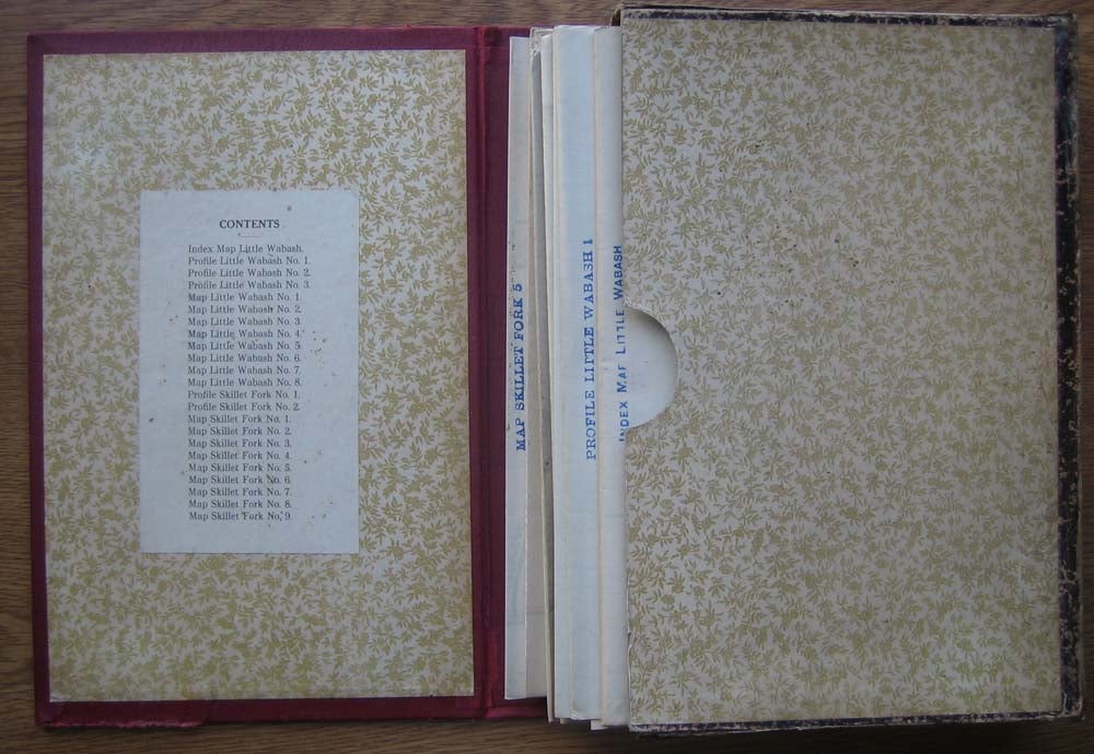
[Springfield]: [Illinois State Journal Company], 1911. Hardcover. Small 4to. Burgundy cloth clamshell case with gilt spine lettering housing 23 large foldout maps (as issued). Floral pastedowns. Very good. Case slightly edgeworn and a bit rubbed, with mild cracking along outer edges (though expert archival inner lining maintains case shape and integrity); maps very good to near fine, with no separations evident. Item #34249
First edition of this scarce accompaniment to the "Report Upon the Prevention of Overflow of the Little Wabash and Skillet Fork Rivers," a 40pp study authored by W.J. McEathron, Leroy Lemayne Hidinger and others in 1911. The Little Wabash River is a 240-mile-long tributary of the Wabash River in southern Illinois and Skillet Fork a 98-mile-long tributary of the Little Wabash. Together they are part of the watershed of the Mississippi River. Lacks the 40-page clothbound report, but a superb and complete detailed map grouping.
Price: $75.00