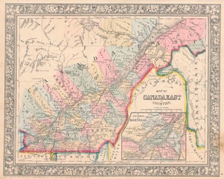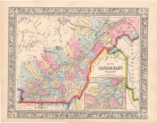
Map of Canada East in Counties.
New York: S. Augustus Mitchell, Jr., 1861. Folio (15¼" X 12¼", image area 13¼" X 10½"). Hand colored. Very good. Light age toning only. Really sharp, bright example of this well-colored multi-province Canadian map, from the 1864 edition of "Mitchell's New General Atlas, Containing Maps of the Various Countries of..... More